|
Students are building their knowledge about the uses of different maps that will aide them in designing their wetland proposals for the City of Calgary. The type we focused on this week is the topographic map. Students went to the following website to conduct an inquiry into: the features of a topographic map, what the colors indicate, how the measurements are used to inform geographic features. Check out the website if you want to explore: http://en-ca.topographic-map.com/ We then went on a community walk to the Cranston storm pond to apply our understanding of how topographic maps can be used to represent the elevation in and around a wetland. Students will continue to work with these maps, and will apply their understanding in their final design proposal. 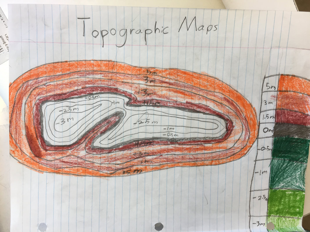 Comments are closed.
|
Learning UpdatesPlease check back every two weeks for learning updates. Archives
May 2018
Categories |
 RSS Feed
