|
Students are building their knowledge about the uses of different maps that will aide them in designing their wetland proposals for the City of Calgary. The type we focused on this week is the topographic map. Students went to the following website to conduct an inquiry into: the features of a topographic map, what the colors indicate, how the measurements are used to inform geographic features. Check out the website if you want to explore: http://en-ca.topographic-map.com/ We then went on a community walk to the Cranston storm pond to apply our understanding of how topographic maps can be used to represent the elevation in and around a wetland. Students will continue to work with these maps, and will apply their understanding in their final design proposal. 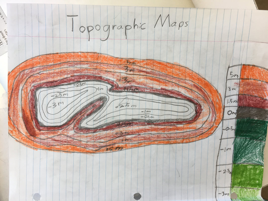 We will be going on a community walk tomorrow, May 15th, from 1-2:30pm. Please note it is going to be 29 degrees celsius tomorrow. Students are encouraged to wear appropriate clothing, sunscreen, and bug spray. They must also bring a water bottle. We are going to the Cranston Storm pond to deepen our understanding of man-made wetlands and how to apply our understanding of topographical maps and how they can be applied to the design of a wetland. Please see the file below for the community letter sent to parents/guardians today.
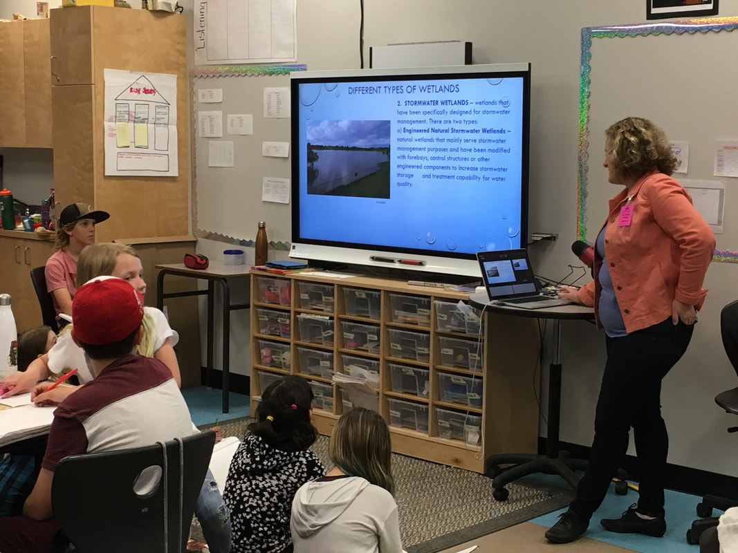
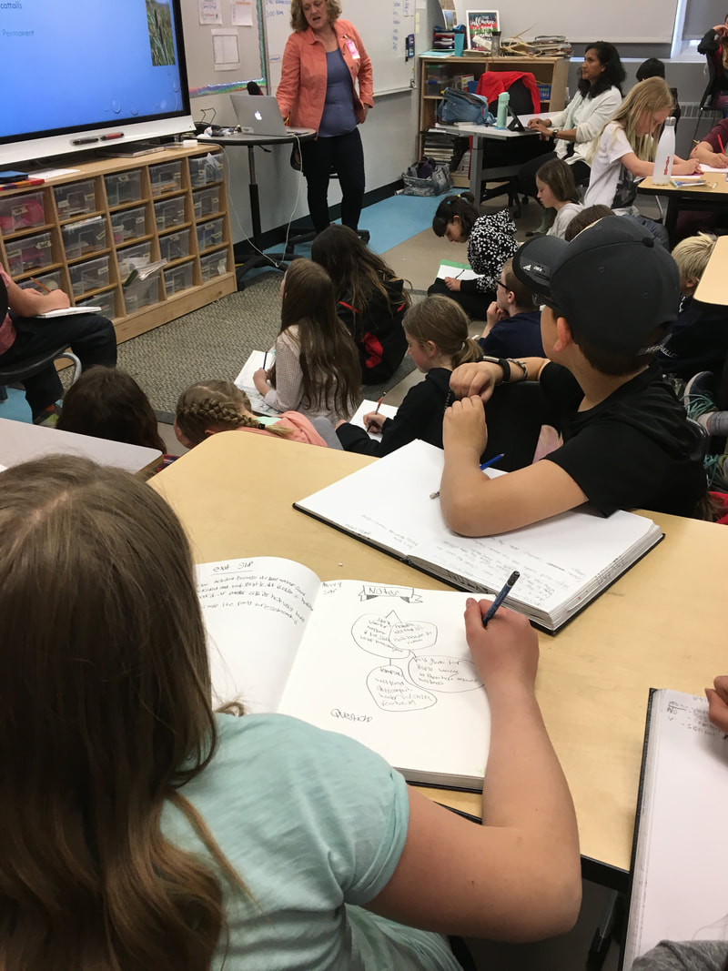
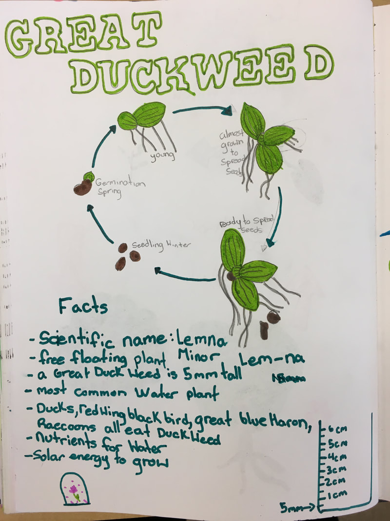
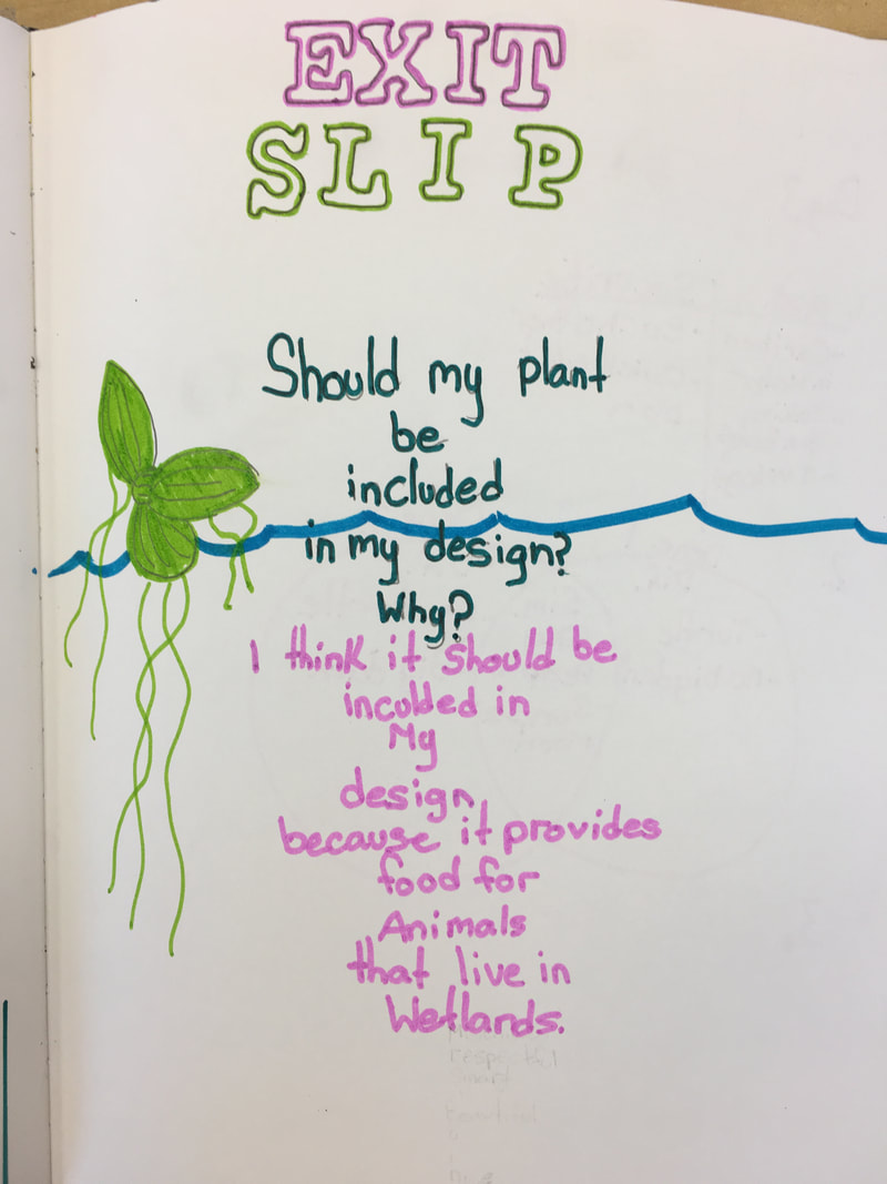
Erika, an Urban Parks Conservationist with the City of Calgary, joined our discussion on natural vs. manmade wetlands. She provided her expertise on the construction and properties of different wetlands, and answered our students' pressing questions about what she does and what makes wetlands an essential geographic feature to our city's landscape. This visit was an important event to build students' knowledge and deepen their understanding, in order to better prepare them for our upcoming design challenge: create a city proposal for a wetland. Students are building their knowledge about the diverse plants that make up the five zones of a wetland: upland, riparian, emergent, floating, and submergent. After conducting research on the life cycle, traits, and importance of various plants, students then had to consider if their plant should be incorporated into the design of their wetland. What is a wetland? Why are they important? How are they constructed and maintained? These are a few of the questions students were asked to consider during their field study at Fish Creek Provincial Park. Students are learning about the various features of wetlands and deepening their understanding of the complex ecosystems within. Their day consisted of a 1.5 hour nature walk and a 1.5 hour pond dipping. They will take this new knowledge and understanding and apply it to an upcoming design challenge. |
Learning UpdatesPlease check back every two weeks for learning updates. Archives
May 2018
Categories |
||
 RSS Feed
